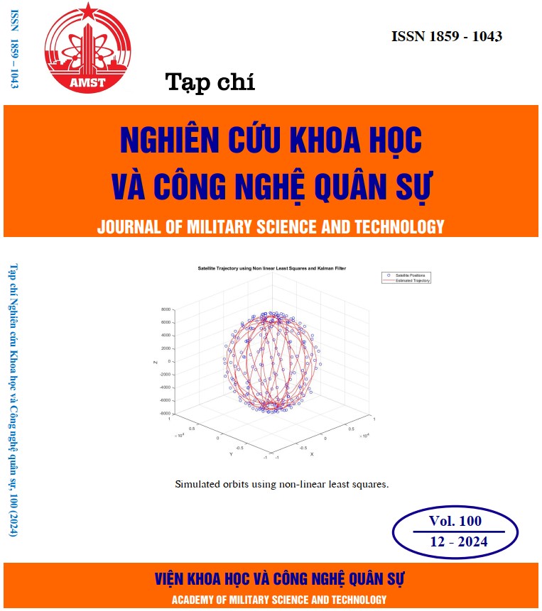
Tính toán và mô phỏng quỹ đạo vệ tinh tầm thấp sử dụng phương pháp bình phương tối thiểu và dữ liệu GPS: Ứng dụng cho vệ tinh VNREDSat-1
594 lượt xemDOI:
https://doi.org/10.54939/1859-1043.j.mst.100.2024.54-61Từ khóa:
Bình phương tối thiểu; Quỹ đạo vệ tinh tầm thấp; Trạm điều khiển; VNREDSat-1.Tóm tắt
Bài báo tập trung mô tả kết quả tính toán chính xác và mô phỏng quỹ đạo vệ tinh quan sát Trái Đất tầm thấp sử dụng phương pháp bình phương tối thiểu (least-squares) và dữ liệu GPS thu được trên vệ tinh. Phần mềm công cụ tính toán và mô phỏng được thực hiện trên công vụ Matlab và thử nghiệm cho dữ liệu thực tế của vệ tinh VNREDSat-1. Mục đích của của công cụ này nhằm nâng cao độ chính xác trong việc tính toán quỹ đạo vệ tinh tầm thấp so với phương thức sử dụng tập tin Two-line Element Set (TLE) theo tiêu chuẩn của NORAD (North American Aerospace Defense Command). Kết quả đạt được sẽ đóng góp quan trọng vào quá trình làm chủ công nghệ trạm điều khiển vệ tinh quan sát Trái Đất, cụ thể là phân hệ động lực học bay (Flight dynamics terminal) thực hiện nhiệm vụ xác định chính xác quỹ đạo và điều khiển quỹ đạo vệ tinh, hỗ trợ lập lịch chụp ảnh cho vệ tinh.
Tài liệu tham khảo
[1]. D. H. a. P. Bohn, "Precise Orbit Determination for Low Earth Orbit Satellites", Annals of the Marie Curie Fel"owship Association, (2006).
[2]. a. E. G. O. Montenbruck, "Satellite Orbits", Springer, (2001). DOI: https://doi.org/10.1007/978-3-642-58351-3
[3]. T. W. &. B. L. Haibo Ge, "Characteristics analysis and prediction of Low Earth Orbit (LEO) satellite clock corrections by using least-squares harmonic estimation", (2022).
[4]. R. Kathleen, "Orbit determination from two line element sets of ISSdeployed CubeSats", 29th annual AIAA/USU conference on small satellites, (2015).
[5]. E. M. R. N. Jacco Geul, "TLE uncertainty estimation using robust weighted differencing", Advances in Space Research, vol. 59 (10), pp. 2522-2535, (2017). DOI: https://doi.org/10.1016/j.asr.2017.02.038
[6]. T. L. J. M. H. a. M. S. D. H. Oza e G. D. M. a. R. C. H. C. E. Doll, "TDRSS-User Orbit Determination Using Batch Least-Squares and Sequential Methods", Nasa, (1993).
[7]. M. F. Uson, "Orbit Determination Methods and Techniques", (2016).
[8]. A. Leick, John Wiley & Sons, "GPS Satellite Surveying", New York, NY, USA, (1995).
[9]. O. M. a. E. Gill, "Satellite Orbits. Models, Methods and Applications", Springer, Berlin, (2000).
[10]. M. B. C. F. L. a. J. P. C. Christopher R.J. Robson, "Development and validation of an open-source software package for very low Earth orbit satellite simulation", Transactions of the Canadian Society for Mechanical Engineering, (2020).
[11]. N. Zhou, "Onboard orbit determination using GPS measurements for low Earth orbit satellites". Diss. Queensland University of Technology, QUT Thesis (PhD), (2005).
[12]. C. T. S. Z. a. X. H. Kai Li, "High-precision GPS orbit determination by integrating the measurements from regional ground stations and LEO onboard receivers", Satellite Navigation 5.1, p. 27, (2024). DOI: https://doi.org/10.1186/s43020-024-00147-4
[13]. A. J. R. D. S. S. a. G. B. H. Bock, "GPS single-frequency orbit determination for low Earth orbiting satellites", Advances in Space Research 43.5, pp. 783-791, (2009).
[14]. A. J. R. D. S. S. a. G. B. H. Bock, "GPS single-frequency orbit determination for low Earth orbiting satellites", Advances in Space Research 43.5, pp. 783-791, (2009). DOI: https://doi.org/10.1016/j.asr.2008.12.003
[15]. J. L. H. S. a. A. E.-M. Kan Wang, « Wang, Kan, et al. "Real-time LEO satellite orbits based on batch least-squares orbit determination with short-term orbit prediction", Remote Sensing 15.1, p. 133, (2022). DOI: https://doi.org/10.3390/rs15010133
[16]. N. C. Rossouw, "A GPS-based on-board orbit propagator for low earthorbiting CubeSats", Stellenbosch University, n. Thesis, (2015).


